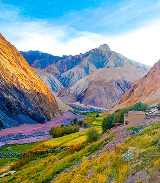
The Kedarkantha Trek is a popular winter trek nestled in the Garhwal region of the Indian Himalayas. Renowned for its breathtaking beauty and manageable level of difficulty, this trek attracts adventurers and nature enthusiasts alike. The trek takes one to the summit of Kedarkantha, a majestic peak standing at an elevation of approximately 12,500 feet (3,810 meters). What sets this trek apart is its accessibility, making it an ideal choice for both beginners and experienced trekkers. The Kedarkantha Trek is celebrated for its captivating landscapes, and the unique opportunity to witness the Himalayas in their snow-clad winter glory.
While the Kedarkantha trekking is a beautiful journey with stunning snow-covered landscapes, it also has its set of challenges. In this article, we will delve deep into understanding the various aspects that contribute to the challenge level of this iconic trek. From the trail’s terrain to the Kedarkantha elevation gains, we aim to provide a comprehensive insight into what makes the Kedarkantha Trek a unique and invigorating experience for trekkers of all levels.
Kedarkantha’s Unique Terrain
Geographical Features of Kedarkantha
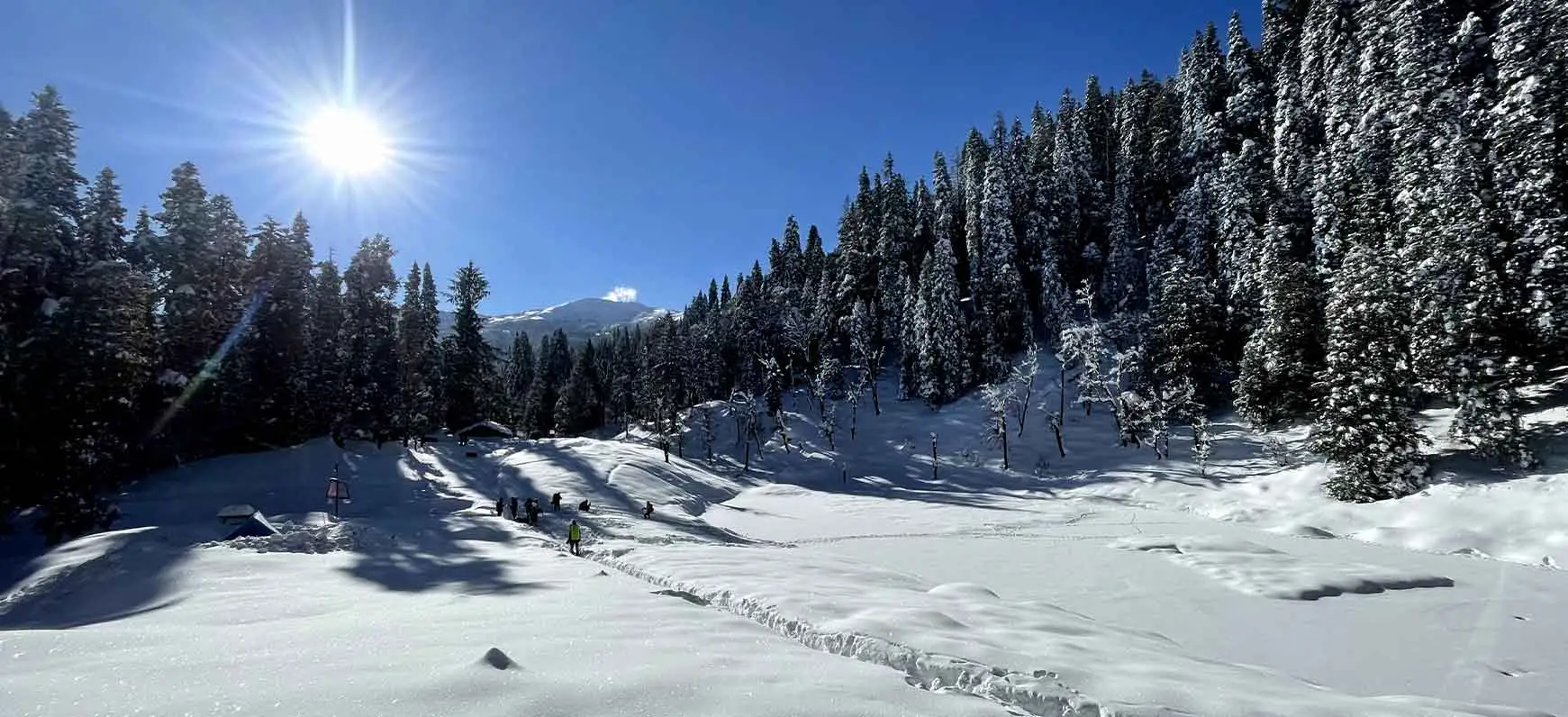
→ Sankri Village
- Starting point at 6400 ft.
- Located within Govind Pashu Vihar National Park.
- Nestled amidst mountain peaks and dense pine forests.
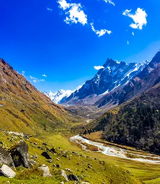
- Tons River accompanies the trail.
→ Juda Ka Talab Campsite
| Altitude: | 9100 ft. |
| Route features: | Suspension bridges, small villages. |
| Winter challenges: | Snow-covered trail, potential need for gaiters. |
| Chance wildlife sightings: | Himalayan Languors, boars, hares, martens. |
| Scenic campsite: | Alpine lake, pine forest, and a sacred touch. |
→ Kedarkantha Base Camp
| Altitude: | 12,500 ft. |
| Journey: | 6 km, approximately 7 hours. |
| Trail features: | Forests of Oaks and Pines, gradual incline. |
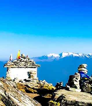
| Summit experience: | Small temple, stunning views of surrounding peaks. |
→ Hargaon Campsite
| Altitude: | 8900 ft. |
| Descent from Summit: | 6 km, relatively easier and faster. |
| Terrain: | Forests, streams, and a refreshing change in landscape. |
→ Descent to Sankri
| Distance: | Approximately 6 km. |
| Highlights: | Forests, gurgling streams, panoramic view of Har ki Dun Valley. |
Altitude Variations and Landscapes
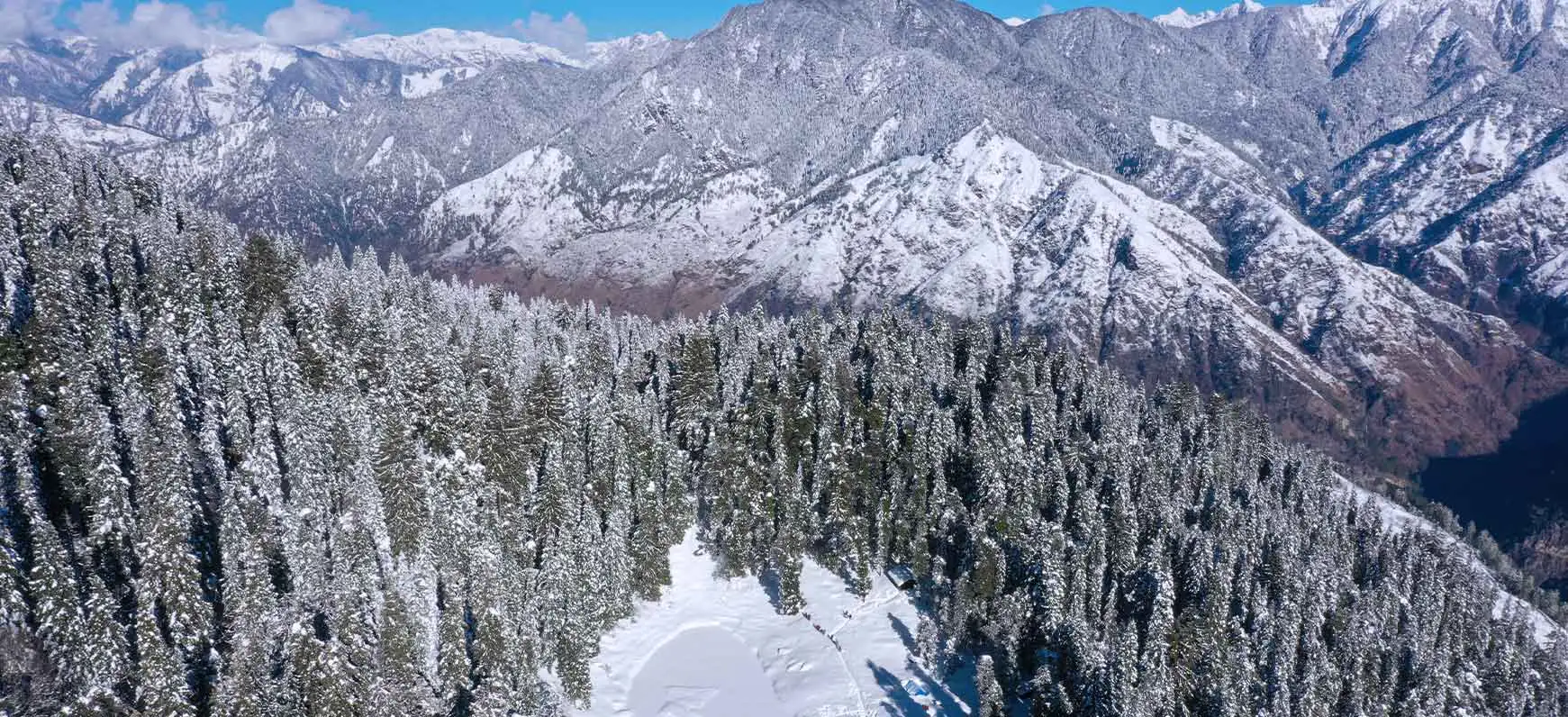
→ Sankri to Juda Ka Talab
| Altitude Gain: | 2700 ft. |
| Landscape: | Mountain villages, dense forests, suspension bridges. |
→ Juda Ka Talab to Kedarkantha Base Camp
| Altitude Gain: | 2150 ft. |
| Landscape: | Alpine lakes, pine forests, expansive meadows. |
→ Kedarkantha Summit
| Altitude Gain: | 1250 ft. |
| Landscape: | Gradual incline through Oak and Pine forests. |
→ Hargaon Descent
| Altitude Loss: | 1000 ft. |
| Landscape: | Forests, streams, a shift in terrain. |
→ Descent to Sankri
| Altitude Loss: | 2500 ft. |
| Landscape: | Diverse landscapes, bird’s eye view of Har ki Dun Valley. |
Key Attractions Along the Trail
Scenic Sights
- Frozen lakes, snow-covered Pine and Oak forests.
- Shepherd huts along the meadows.
- Sacred Juda Ka Talab with a natural ice sheet.
Panoramic Views
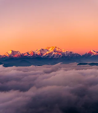
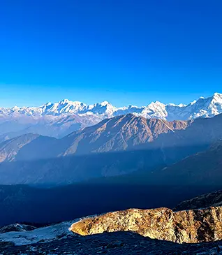
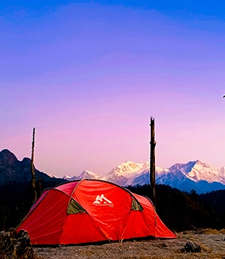
- From Kedarkantha Base Camp: Swargrohini peaks, Bandarpoonch, Ranglana, Kala Nag.
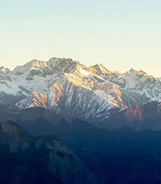
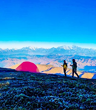
- Kedarkantha Summit: 360-degree views of Himalayan ranges – Gangotri, Yamunotri, Chanshil Pass, Kinnaur Kailash ranges.
Deciphering the Difficulty Gradients of the Kedarkantha Trek
Segmentation Based on Difficulty
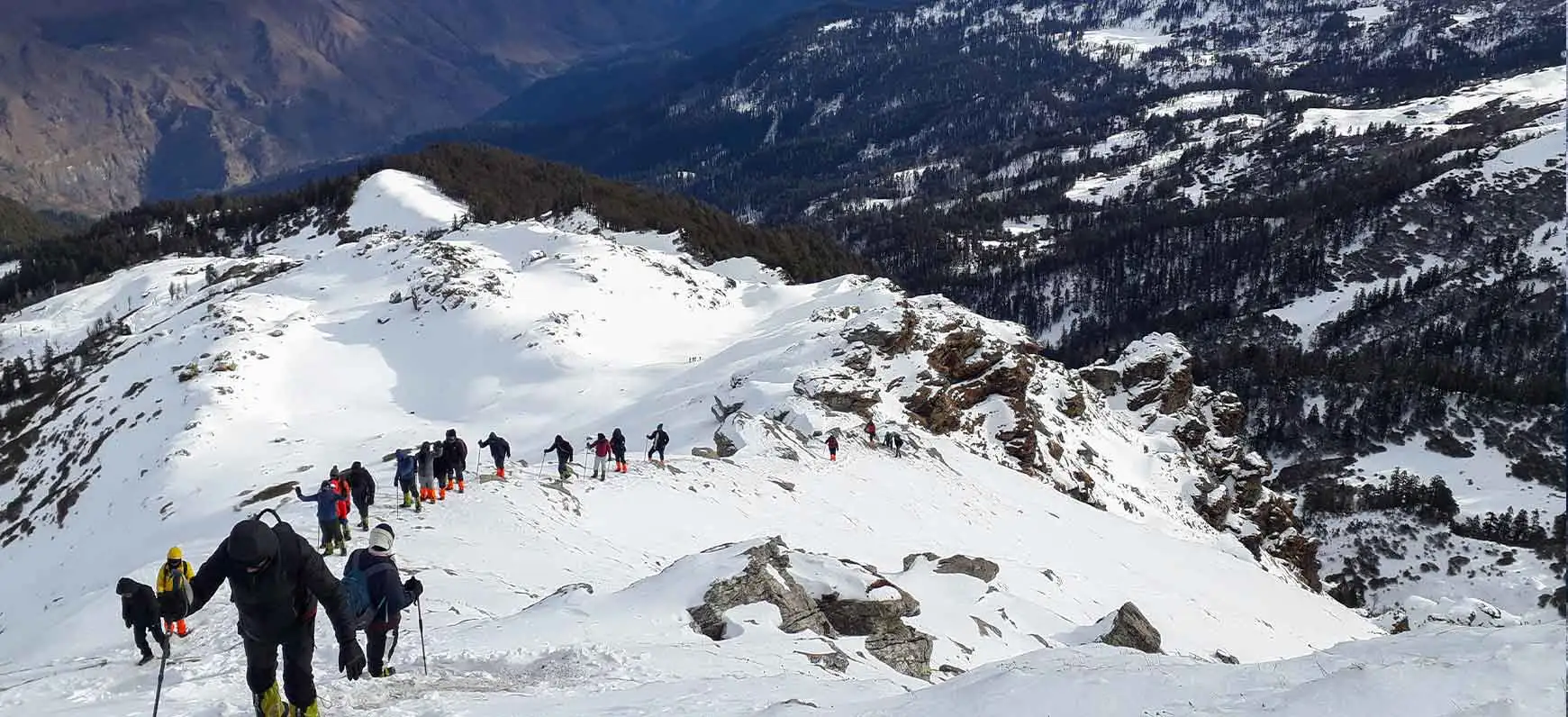
- Sankri to Juda Ka Talab
- Difficulty: Moderate
- Terrain Challenges
- Forest Trails: Navigate through dense forests of Oak and Pine.
- Bridges: Cross suspension bridges over gushing streams.
- Factors Contributing to Difficulty
Altitude Gain: Moderate ascent from 6400 ft to 9100 ft.
Weather Conditions: Varying conditions, especially during winter.
2. Juda Ka Talab to Kedarkantha Base Camp
- Difficulty: Moderate
- Terrain Challenges
- Snow-Covered Paths: Negotiate snow-covered meadows and trails.
- Ascending Trails: Gradual ascent through alpine landscapes.
- Factors Contributing to Difficulty
Winter Challenges: Potential snow-covered paths.
Altitude Gain: Moderate gain, acclimatization becomes crucial.
3. Kedarkantha Summit
- Difficulty: Challenging
- Terrain Challenges
- Steep Incline: Navigate a steeper ascent towards the summit.
- Forest Traverse: Cross dense forests of Oaks and Pines.
- Factors Contributing to Difficulty
Altitude Gain: Steeper ascent to 12,500 ft.
Physical Endurance: Requires good fitness levels.
Weather Exposure: Open terrains subject to weather changes.
4. Descent to Hargaon
- Difficulty: Moderate
- Terrain Challenges
- Descending Slopes: Negotiate downhill slopes from the summit.
- Terrain Variation: Transition from summit terrain to campsite.
- Factors Contributing to Difficulty
Physical Impact: Descending can exert pressure on knees.
5. Hargaon to Sankri
- Difficulty: Easy to Moderate
- Terrain Challenges
- Forest Descent: Traverse through dense forest covers.
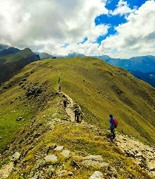
- Ridge Walk: Enjoy a ridge walk with panoramic views.
- Factors Contributing to Difficulty
Altitude Loss: Gradual descent to 6400 ft.
Terrain Variation: Transition from ridge to forested paths.
Factors Contributing to the Trek’s Overall Difficulty
- Altitude Gain and Variation
Significance: Kedarkantha ascends to 12,500 ft, requiring acclimatization.
Impact: Altitude-related challenges, including decreased oxygen levels.
- Terrain Diversity
Significance: Varying terrains from forests to meadows to summit slopes.
Impact: Requires adaptability to different walking conditions.
- Weather Dynamics
Significance: Weather changes, especially during winter, impact visibility and trail conditions.
Impact: Demands preparation for diverse weather scenarios.
- Physical Endurance
Significance: Steep ascents and descents demand good fitness levels.
Impact: Physically demanding, especially during the summit climb.
- Seasonal Challenges
Significance: Winter brings snow-covered paths; summer involves different trail conditions.
Impact: Seasonal variations contribute to diverse trek challenges
Weather Factors
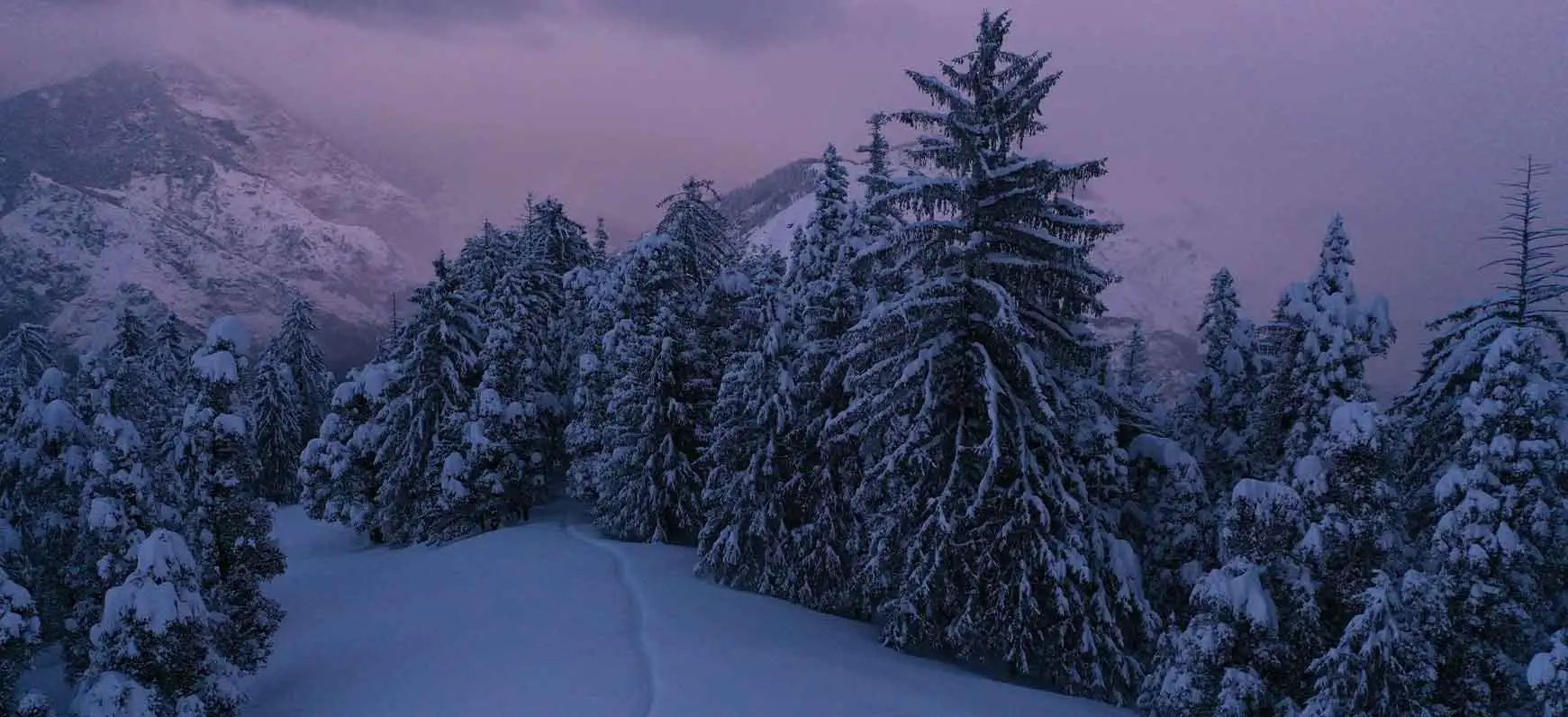
Weather stands as a pivotal factor shaping the Kedarkantha trekking experience. Let us assess the impact of weather on trekking difficulty.
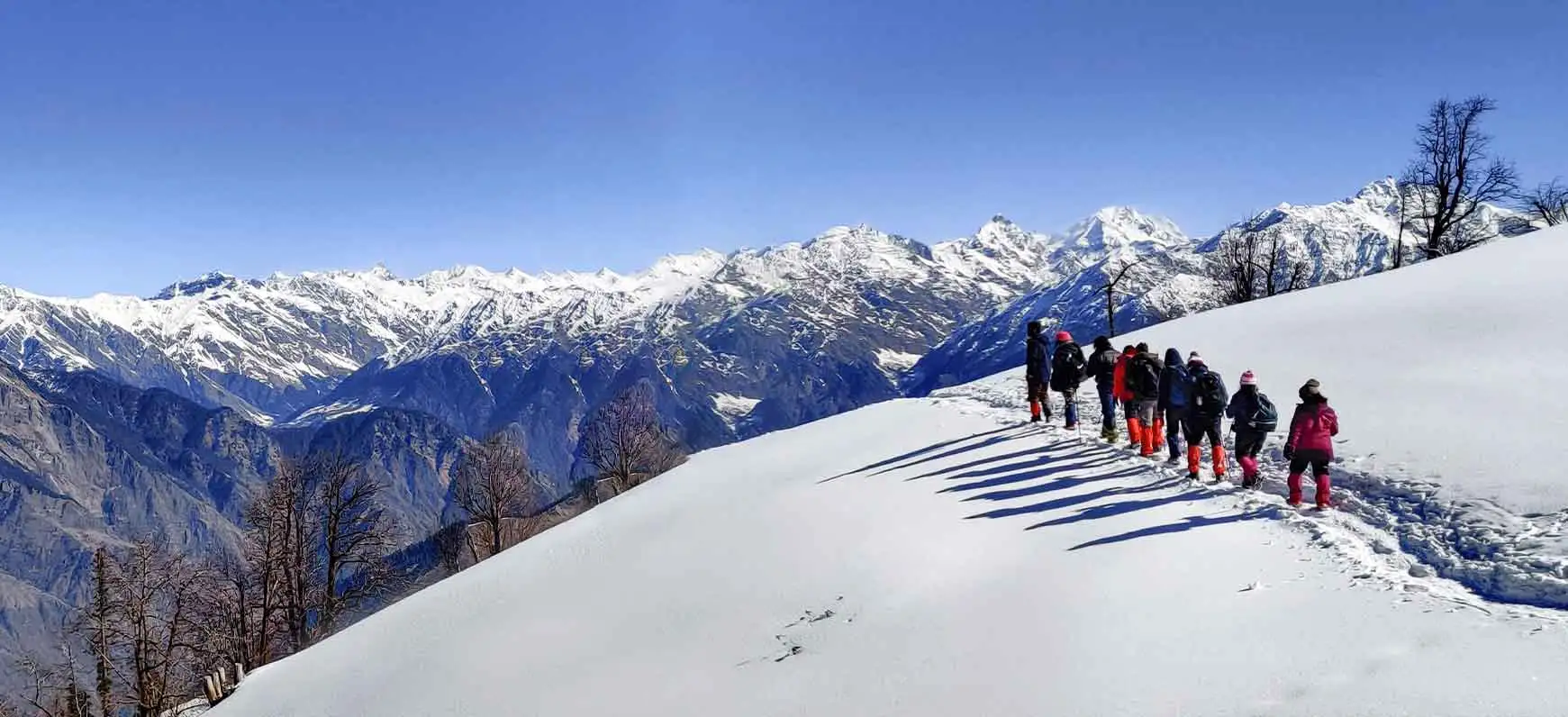
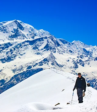
During winter the trails of Kedarkantha trek are deeply blanketed with snow. While it is a wonderful experience trekking in the snow. You will have a lot of fun playing with the snow and witnessing the Himalayas in their snow-covered glory. However, it may pose a few challenges that impact the difficulty of the trek.
→ During snowfall season, the trails can become obscured and you have to carefully navigate around the snow.
→ Winter months lead to lower temperatures as usual so need to be prepared for the cold and the chill wisely for getting the best out of your experience.
→ Walking around snow can be tricky so remember to carry gaiters and crampons as a safety and convenient measure.
Every uphill climb, every weather twist, and every altitude fluctuation is an opportunity for personal and collective growth. While winter adds some challenges to the trek Kedarkantha remains a great option for all kinds of trekkers. Whether you are a novice or an experienced trekker, or you want to venture into the trek with your family, this trek is ideal for all experience levels.
.webp)
.webp)
.webp)
.webp)
.webp)
.webp)
